
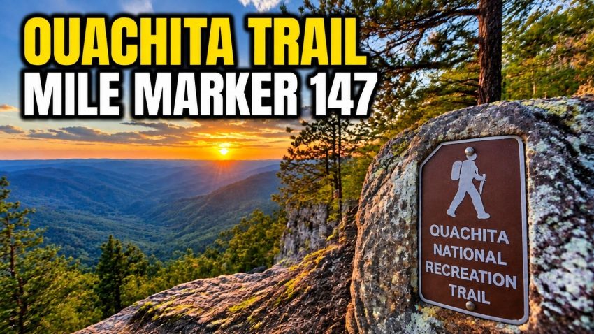
What Can You Discover at Mile Marker 147 on the Ouachita Trail?
Mile Marker 147 on the Ouachita National Recreation Trail offers an adventurous hiking experience in the northern part of Garland County, Arkansas. This remote stretch features rugged forest terrain, an approximately 80-foot bluff with scenic views, historic Civilian Conservation Corps (CCC) connections, and trail-maintenance work by dedicated volunteers.
In this outdoor adventure, Dennis R. Simpson, Teresa Diana Simpson, and their four-legged companion, Scraps, explore the trail near a forest service microwave repeater tower. Their journey reveals the natural beauty of the Ouachita National Forest and provides practical tips for navigating remote forestry roads.
Key takeaway: If you enjoy Arkansas hiking, scenic overlooks, conservation history, and peaceful forest trails, this section of the Ouachita Trail offers plenty to explore. Check road access and trail conditions before visiting.
Where Is Ouachita Trail Mile Marker 147 Located?
The featured hiking area is near the northern boundary of Garland County, Arkansas, in the Ouachita National Forest region. The route begins near the end of a gravel forestry road close to a forest service microwave repeater tower.
Reaching the trailhead requires careful navigation because remote forest roads may be uneven, unpaved, or subject to seasonal closures. The OnX Off-Road app can help hikers and drivers identify forestry roads and understand the surrounding terrain.
Before setting out, check current access restrictions, download offline maps, and prepare for limited mobile phone coverage. Do not assume that a road or gate will be open simply because it appears on a digital map.
What Makes the 80-Foot Bluff Worth Exploring?
One of the most memorable highlights of this adventure is an approximately 80-foot bluff overlooking portions of the surrounding Ouachita National Forest.
The hike features forest-covered slopes, rocky terrain, pine needles, and natural viewpoints that reward visitors willing to explore beyond the main road. Vegetation and weather can affect visibility, so the views may vary by season.
Other highlights include:
- Exploring Section 7 near Mile Marker 147.
- Discovering old antenna infrastructure near the trail approach.
- Learning about nearby landmarks such as Blakeley Mountain and Blakeley Shelter.
- Observing water-diversion channels and stonework used in trail maintenance.
- Enjoying a quieter outdoor experience away from busy recreation areas.
Use caution around bluff edges, especially after rain when rocks, leaves, and pine needles can become slippery.
What Is the History of the Ouachita Trail and the CCC?
The Civilian Conservation Corps was established during the Great Depression to provide employment for young men while supporting conservation and public-land improvement projects.
The Ouachita Trail reflects this broader history of outdoor recreation and conservation in Arkansas and Oklahoma. Today, volunteers continue the work of maintaining the trail and protecting its surrounding environment.
The Friends of the Ouachita Trail (FoOT) supports maintenance along the approximately 223-mile route. Volunteers help clear washouts, improve drainage, place stepping stones, and maintain shelters to make hiking safer and reduce erosion.
Outdoor enthusiasts can search for Friends of the Ouachita Trail to learn about volunteer opportunities, conservation projects, and ways to support trail maintenance.
How Should You Prepare for This Remote Arkansas Hike?
Preparation helps make a remote trail adventure safer and more enjoyable.
Follow these practical tips:
- Check road conditions: Confirm access and seasonal gate restrictions before leaving.
- Download offline maps: Use a navigation app such as OnX Off-Road, and carry a backup navigation method.
- Wear suitable hiking shoes: Choose footwear with good traction for wet terrain and loose pine needles.
- Pack essentials: Bring water, snacks, a charged phone, and a first-aid kit.
- Respect the terrain: Keep away from unstable bluff edges and turn back when conditions become unsafe.
- Match the hike to your fitness: Take breaks and choose a pace appropriate for your abilities.
Dennis and Teresa also discuss functional fitness, joint health, injury recovery, and staying active as we age. Hikers returning from an injury should adapt their activity to their abilities and follow appropriate professional advice.
Plan Your Next Ouachita National Forest Adventure
Mile Marker 147 combines scenic forest views, local history, and the satisfaction of exploring a remote Arkansas trail. Whether you enjoy photography, hiking, conservation, or outdoor discovery, this adventure offers inspiration to experience the Ouachita region responsibly.
Watch Dennis R. Simpson, Teresa Diana Simpson, and Scraps explore the route, discover the bluff, and highlight the work that keeps the trail accessible.
Planning a longer visit? DD Village Properties offers short-term lakefront rentals in Hot Springs Village, with amenities that may include kayaks, hot tubs, and pet-friendly accommodations. Check current listings for availability and specific amenities.
Explore responsibly, prepare for changing conditions, and discover what’s waiting along the Ouachita Trail.
FAQS
1. Where is Mile Marker 147 on the Ouachita Trail?
The featured section is in the northern part of Garland County, Arkansas, near the Ouachita National Forest. The video explores a remote trail approach near a gravel forestry road and a microwave repeater tower.
2. What can you see at Mile Marker 147?
The hike features an approximately 80-foot bluff with scenic forest views, rugged terrain, historic trail features, and examples of drainage and erosion-control work.
3. How long is the Ouachita National Recreation Trail?
The Ouachita Trail is approximately 223 miles long and runs between Arkansas and Oklahoma. Terrain, difficulty, and access conditions vary across different sections.
4. Who maintains the Ouachita Trail?
The Friends of the Ouachita Trail (FoOT) is a volunteer organization that helps maintain the route through drainage improvements, washout clearing, stepping-stone placement, and shelter maintenance.
5. What should you bring when hiking the Ouachita Trail?
Bring water, snacks, sturdy hiking shoes, offline maps, a charged phone, and basic first-aid supplies. Check road access and weather conditions before starting, and use caution around slippery surfaces and bluff edges.