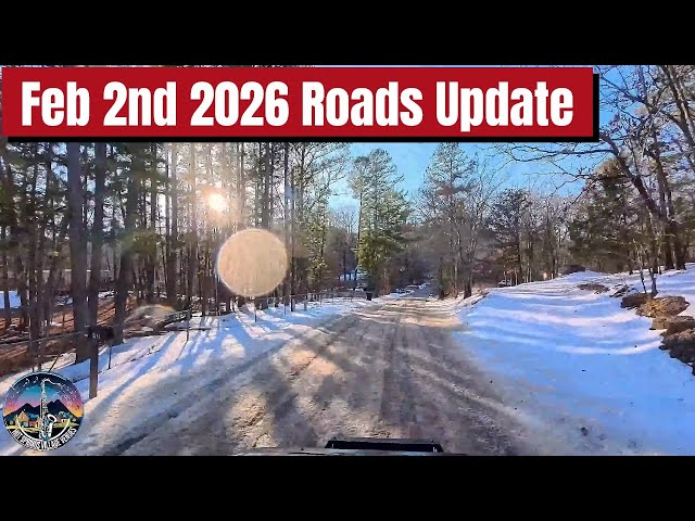
Join us for a tour through Hot Springs Village and up into the National Forest See the road conditions. ❄️ Winter Road Conditions & School Closures The primary goal of the video is to answer why local schools remained closed despite some main roads appearing clear. The Findings: While main arteries like De-Soto Boulevard were manageable, side roads and areas outside the North Gate (Cortez Gate) remained dangerous. Specific Hazards: Simpson documents a 200-yard solid patch of ice near Beaudry Cemetery and “12 to 14 inches of loose snow” on secondary roads. The Verdict: He validates the school district’s decision, noting that a 40-foot school bus would be unable to safely navigate the “messy” and “slippery” shaded patches. Join us on a peaceful winter drive through the scenic roads of Arkansas, showcasing the natural beauty of the season. This 4k video captures the serene snowy landscapes and forested highways, offering a relaxing road trip experience. We conclude with stunning 4k drone footage of a vibrant green lake surrounded by trees. 🌲 Scenic Highlights: Highway 7 & National Forest Simpson takes viewers on a drive north of Jesseville onto Arkansas Highway 7, a designated National Scenic Byway. Porsche’s Top 10: He mentions that this stretch (Hot Springs to Harrison) is rated by Porsche as one of the top 10 drives in North America due to its “curvy, twisty, and fast-turning” nature. Iron Springs Roadside Park: A historical stop built by the CCC (Civilian Conservation Corps) and WPA. It features a scenic bridge and serves as a trailhead for the Ouachita National Recreation Trail (a 192-mile trail stretching toward Pinnacle Mountain). The Wilderness: The drive borders the Flatside Wilderness, part of 1.7 million acres of National Forest. Drone Footage: The video transitions to “Golden Hour” drone shots of the Winona Trail, emphasizing the vast, pristine greenery of the area compared to the gray winter roads.